Iron Bog Lake (Peak 10149)
Location: 43.64962°N, 113.85209°W
Stats
Date: 7/29/2007
Distance: 6 miles (incl. peak)
Elevation gain: 2200' (incl. peak)
Class (difficulty): 3
Time: 1.5 into the lake, 45 minutes out, 2 to climb peak
Range: Pioneer
Partner(s): Carrie, Lexie
Report:
Suprisingly, my wife and daughter approached me early in the week and said they wanted to go backpacking. They haven't backpacked in 2 years and then it was me dragging them out. So I immediately went to work to find a easy, but scenic trip they could do. I quickly came accross Iron Bog Lake in a book. Then I thought that adding a stop at the Craters of the Moon monument would make for a great trip. My family agreed, so off we went on Friday morning.
We got a late start and were worried the Craters would be too hot, but it was only about 80 degrees when we got there. After our first stop (a quick hike to the top of Inferno Cone), a storm rolled in and dumped a lot of rain. After the intense storm left, we checked out some spatter cones with narrow, deep craters that still contained snow at the bottom. We also hiked to some caves (lava tubes) that allowed you to hike underground for long distances. Very fun 2 or 3 hour visit!
Next stop was the Iron Bog Campground, where we would stay Friday night. Views of Smiley Mountain from this campground are wonderful.
After a fairly early rise, we packed and drove the remaining 6 or 7 miles to the Iron Bog trailhead. Although only a 2-mile hike into the lake, I knew the hike started steep and then relented toward the end. Sure enough, the first 1/2 mile or so was very steep and in the sun. After a quick break, we continued on... though I don't think anyone believed me that it would get easier. After a last steep section, we side-hilled around a few more peaks and entered the drainage for the outlet of the lake.
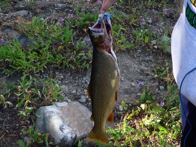
Iron Bog Lake is gorgous, with abundant campsites, great views, and fishing. Peak 10149 rises right out of the lake, making for impressive views. From our campsite, we also had incredible views to our south, with flower filled meadows framing the scenery.
On Sunday morning, my daughter decided she didn't want to join me on a climb of Peak 10149. So I headed up on my own. I knew the climb was somewhat exposed anyway, so maybe it was for the best. After a trail hike to a saddle just northwest of the peak, I hiked across a treeless, green basin to the base of the peak. The rock then started, but was stable and not that steep all the way to the base of the summit. From there, I traversed around a tower, climbed up a scary looking gully (that looked more exposed that it actually was). Finally a slabby section led to the top and a cairn. The views in all directions were great! Iron Bog Lake was at my feet on one side, with the Fishpole Lakes on the other. In all directions, peaks popped up around me, with cairns noticeable on the closer ones. The view down Muldoon Canyon from here is very scenic.
Once I got down, we broke camp and headed out. In 45 minutes of quick hiking we were back at the truck. Not bad for such a scenic peak!
Getting there:
10 miles north of Arco turn left onto the unsigned Antelope Creek Road. Follow signs to the Iron Bog Campground (about 23 miles in). Just past the campground, take the left fork to Iron Bog trailhead (signed intersection). It is another 6.5 miles to the trailhead at the end of the road.
Hiking instructions:
Follow the signed trail to Iron Bog Lake. The trail is steep at first, but mellows out after the first 1/2 mile.
Additional Info:
|
|
|